By Okello Joshua Oscar
Uganda’s Department of Surveys and Mapping is making strides in improving the country’s land and mapping services, with the development of a comprehensive Geodetic Network.
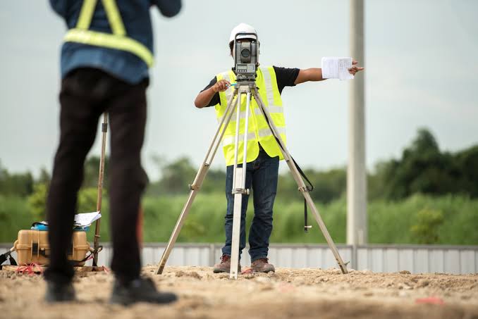
The network is equipped with both permanent pillars and Continuously Operating Reference Stations (CORS) to aid government surveyors and the geospatial community in both the public and private sectors. The department is also using ortho-imagery collected through aerial photography to improve the accuracy of location data, as well as check the quality of the national learning information system.
In addition to the Geodetic Network, the department has also established the Uganda National Land Information System, a centralized database for providing registered documents and titles to citizens. They have also implemented the Geode network, a heights network covering the entire country that is being used to support property registration and land tenure systems.
The department is also working closely with neighboring countries to survey and establish international boundaries, as well as address internal administrative boundary issues. They are using the Geode information to assist in urban planning, with ortho-imagery captured for more than 10 cities in Uganda at 15-centimeter resolution.
The department’s efforts have not gone unnoticed, with the private sector also investing in the Geodetic Network and collaborating with the government to enhance the network and update maps. Furthermore, the department’s land tenure program has been successful in reducing the number of land disputes in the country and has also provided opportunities for citizens to use their land as collateral for loans.
Overall, the Department of Surveys and Mapping is making significant progress in improving land and mapping services in Uganda, and their efforts are having a positive impact on the country’s citizens and infrastructure development.


